Need Help?
UK
US
CA
UK
ES
FR
DE
IT
Categories
Office Supplies
Book Accessories
Filing & Organisation
Address Books
Calendars, Organisers & Planners
Card Files
Desk Organisers
File Folders
Folders & Report Covers
Pen & Pencil Cases
Portfolios & Padfolios
General Office Supplies
Office Equipment
Information
About us
Terms and Conditions
Privacy Policy
Blog
Contact
Home
Office Supplies
Filing & Organisation
Calendars, Organisers & Planners
UK Map Centre
Brands
Moleskine
Collins
Filofax
Leuchtturm1917
Ryman
UK Map Centre
Sasco
Letts
Nobo
Letts of London
TImeMoto
Silvine
Boxclever Press
Pomegranate
Exacompta
Q-Connect
Finocam
Midori
Flametree Publishing
Tallon
See/Hide Full List
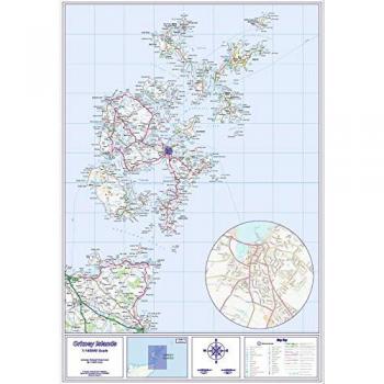
Folded Orkney Islands Map – Regular Paper
0.00
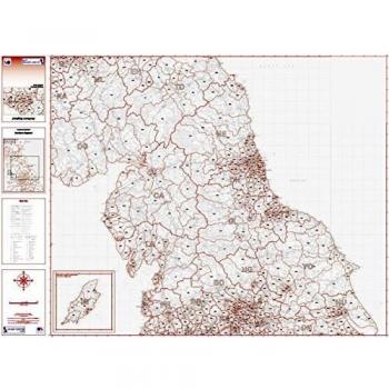
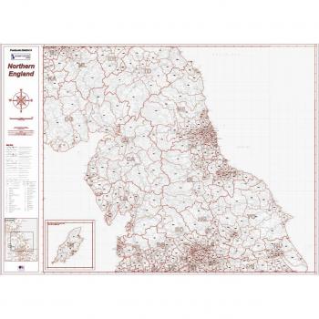
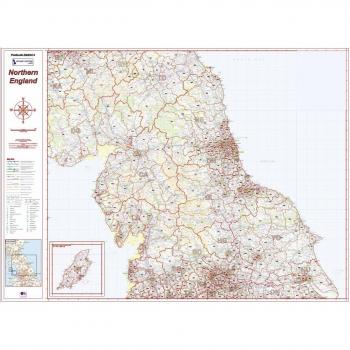
Map of Northern England Postcode Districts – Version 4 (Greyscale)
0.00
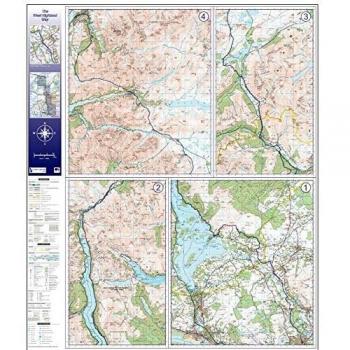
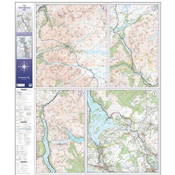
Face-Laminated West Highland Way Map – Flat Version
0.00
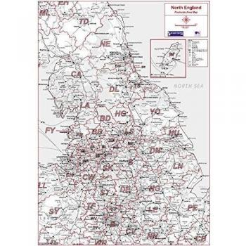
Matt North England Postal Code Map – 3, Laminated Front, Erasable Ink
0.00
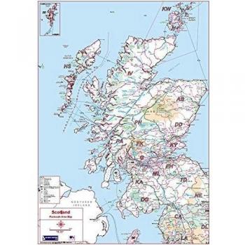
Colour Matt Paper – Scotland Postcode Area Map 2
0.00
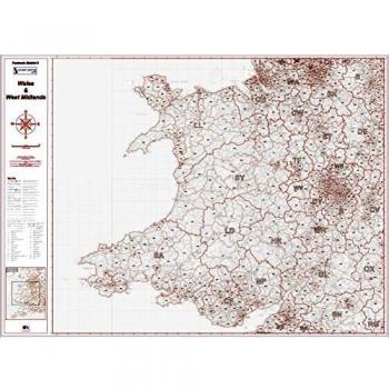
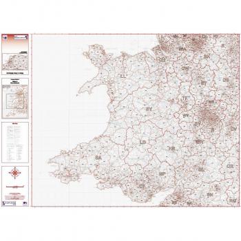
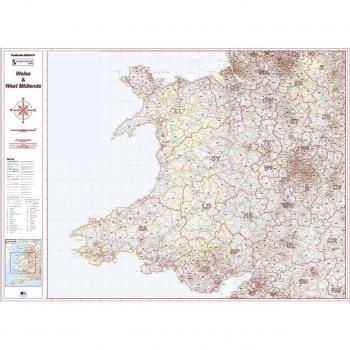
Grayscale Map of Postcode District 6 (Wales & W. Midlands) – Matte Print
0.00
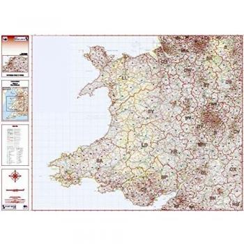
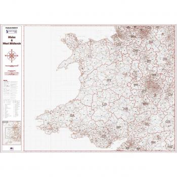
Wales/West Midlands Postcode Map – District 6, Folded, Colour Print
0.00
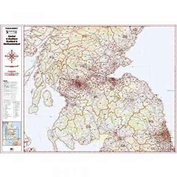
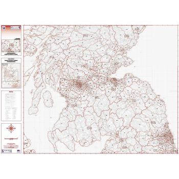
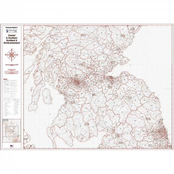
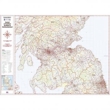
Postcode District Map (Southern Scotland & Northumberland) – Colour, Folded
0.00
Northern Border Postcode District Map 3 – Southern Scotland & Northumberland – Colour, Satin
0.00
West Highland Way Explorer Map – Folded Edition
0.00
Flat-Oriented Orkney Islands Mapping Sheet
0.00
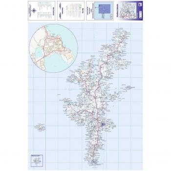
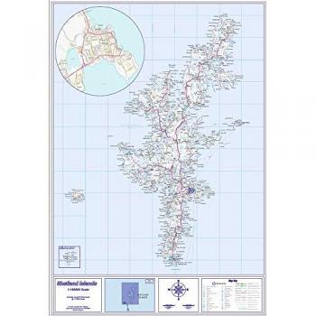
Shetland Islands Paper Map – Folded, Standard Size
0.00
Standard Matte Shetland Island Map – Flat Edition
0.00
Colour Postcode & City Layout – Nottingham, Folded
0.00
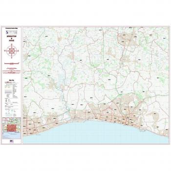
Colour Postcode Sector Map of Brighton & Hove – Folded, Standard Paper
0.00
Colour Postcode City Map – Bristol Folded
0.00
Brighton & Hove Colour City Sector Map – Matte Paper, Flat Format
0.00
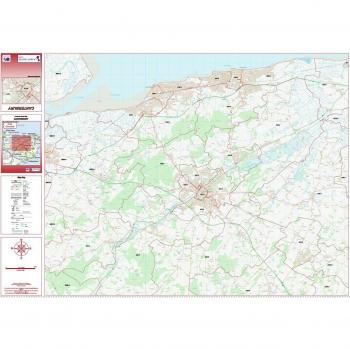
Colourable Folded Postcode City Sector Map – Canterbury (Standard Paper)
0.00
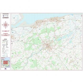
City Sectors Map for Canterbury
0.00
Postal Code Map - Truro Region - Colourful - Collapsible - Regular Paper
0.00
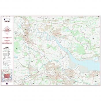
Detailed Postcode Directory and Zones for Stirling - Colourful, Folded Layout
0.00
Stirling ZIP Code Region Map (Matte Finish)
0.00
Folding Map of Postcode District 6 - Wales & West Midlands - Greyscale Version
0.00
West Midlands & Wales Postcode 6 Greyscale Portrait
0.00
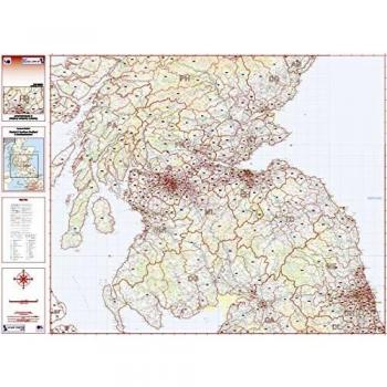
South Scotland & Northumberland Postcode Map – Grey, Folded
0.00
Wales & West Midlands Postcode District 6 Laminated Color Map, Two‑Sided
0.00
Postcode District Map (3) – Southern Scotland & Northumberland, Greyscale, Matte
0.00
Postcode District Map: Southern Scotland & Northumberland – Double‑Sided, Laminated, Colour
0.00
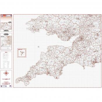
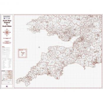
Postcode District 7 South West/South Wales Map – Greyscale Foldout
0.00
Northern England Greyscale Postcode Map – Standard Matt Finish
0.00
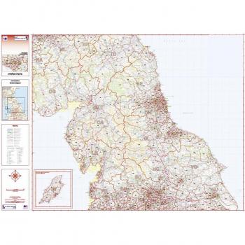
Colour‑Printed Foldable Map of Northern England Postcode Areas
0.00
Matte Paper South West & South Wales Postcode District 7 Map – Greyscale Edition
0.00
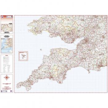
Colour Postal Code Map – SW England & Wales (District 7)
0.00
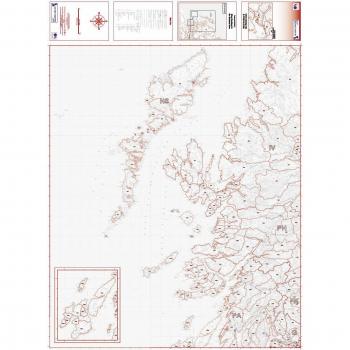
Foldable Greyscale Map of West Scotland & The Western Isles Postcodes
0.00
Northern England Postcode Map (Color) on Satin Photo Paper
0.00
Premium Satin Photo Paper – Postcode District 7 Colour Map for South West England & South Wales
0.00
1
2