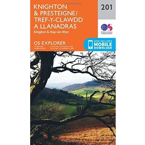
Ordnance Survey Map of Knighton & Presteigne
12.99 GBP
Navigate the rolling borders of England and Wales with this Ordnance Survey Explorer map, featuring Knighton, Presteigne, and Tref‑y‑Clawdd. Its fine contour lines reveal steep ridges, tranquil valleys, and historic sites, making every walk a discovery of natural beauty and cultural heritage.
Share: ![]()
![]()
![]()
![]()
![]()
![]()
Sponsored
 Ordnancesurvey.co.uk
Ordnance Survey OS Map of Knighton & Presteigne: Explorer 201
01-06-2026 21:19:05
Related products

Ordnance Survey Map of Anglesey
14.15 GBP


OS Explorer Map
12.99 GBP

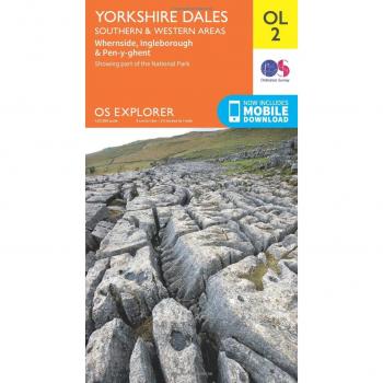
Yorkshire Dales South & Western
12.99 GBP

Ordnance Survey Map of The Cheviot Hills
11.75 GBP