

Ordnance Survey Map of South Pennines
12.99 GBP
Discover the South Pennines’ hidden paths with OS Explorer Map OL21, a 1:25 000 sheet that charts Burnley, Hebden Bridge, Keighley and Todmorden. Its precise contour lines, footpaths and landmarks guide walkers through valleys, moorlands and historic villages for an immersive outdoor experience.
Share: ![]()
![]()
![]()
![]()
![]()
![]()
| Brand | Ordnance Survey |
| ASIN | 0319242609 |
| ISBN | 0319242609 |
| MPN | 10243377736 |
| EAN | 9780319242605 |
| Country of publication | UNITED KINGDOM |
| Dimensions | (H) 232mm, (W) 144mm, (D) 14mm |
| Edition | May 2015 ed |
| Imprint | Ordnance Survey |
| ISBN | 9780319242605 |
| Page count | 0 |
| Publication date | Mon Jun 01 00:00:00 BST 2015 |
| Status | In Print |
| Weight | 128 grams |
Related products


Ordnance Survey Map of London South
12.99 GBP

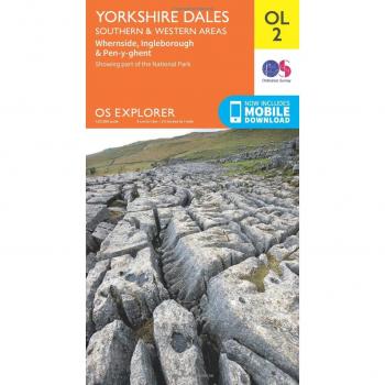
Yorkshire Dales South & Western
12.99 GBP

Landranger
12.99 GBP

Ordnance Survey Map of South Pennines
16.99 GBP