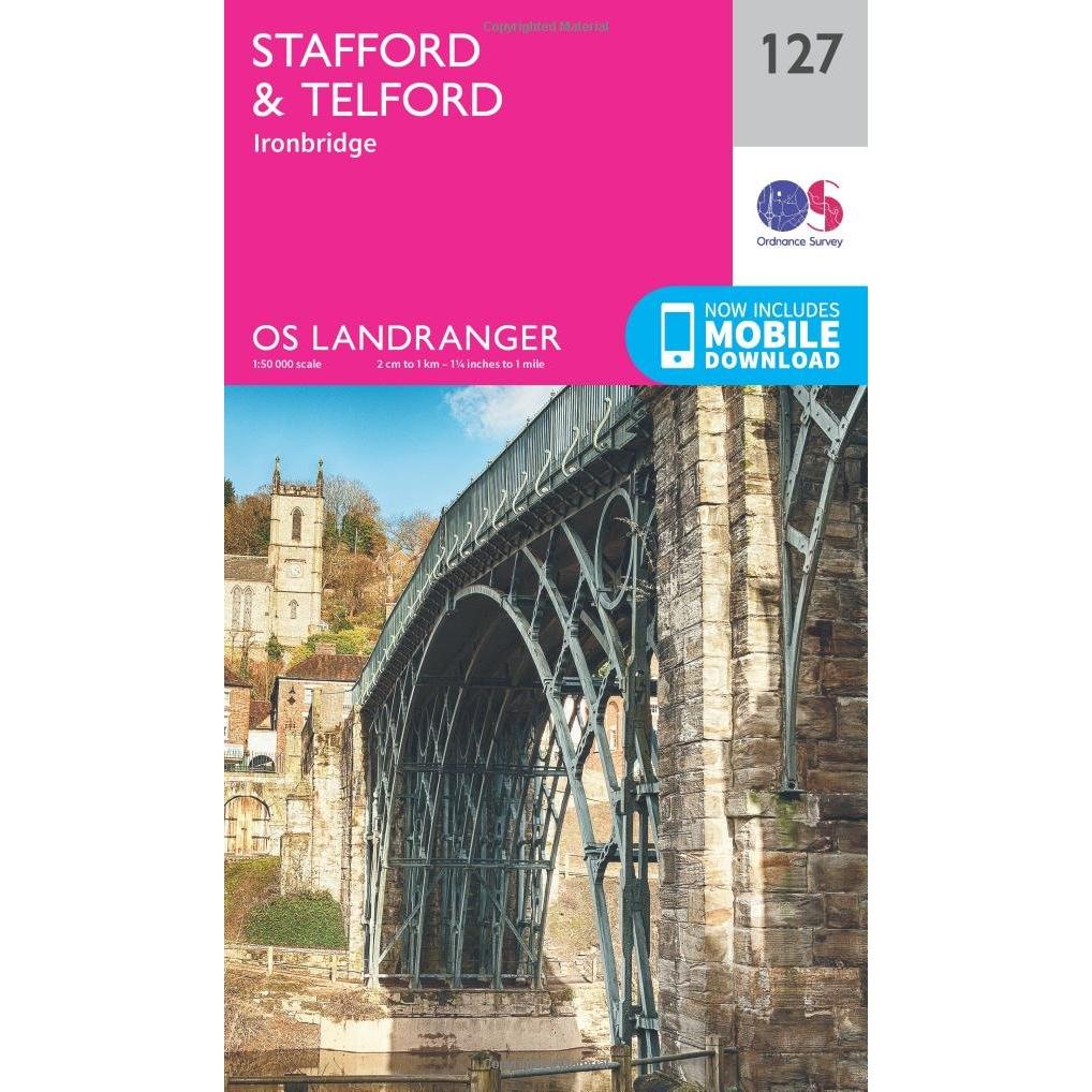
Ordnance Survey Map of Stafford & Telford
12.99 GBP
Navigate the rolling hills of Staffordshire with this crisp paper map covering Stafford, Telford and Ironbridge. Scale 1:50 000 displays roads, footpaths, rivers, historic bridges, and key landmarks for walkers, riders, and planners.
Share: ![]()
![]()
![]()
![]()
![]()
![]()
Sponsored
 Ordnance Survey
Ordnance Survey OS Map of Stafford & Telford: Landranger 127
05-06-2026 01:58:37
Related products

Ordnance Survey Map of Anglesey
14.15 GBP

Ordnance Survey Map of Colchester
16.99 GBP


Ordnance Survey Map of West London
11.75 GBP